Innovative Interfaces
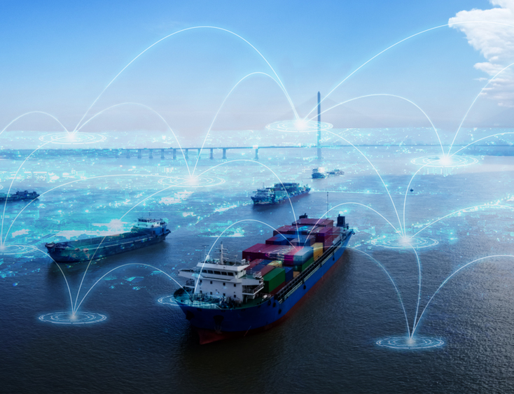
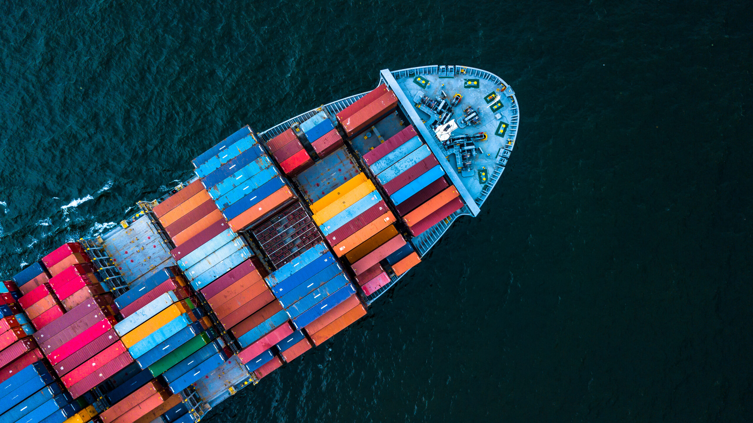
Maritime Intelligence Solution is a state-of-the-art maritime technology platform that enables comprehensive real-time tracking, analysis, and management of vessels at sea. This solution showcase our expertise in maritime technology and data analysis, offering a wide range of features that optimize maritime operations, safety, and efficiency for maritime professionals, authorities, and stakeholders.
How we Solve the Problem
Real-Time Vessel Tracking: The platform provides real-time tracking of vessels, enabling maritime authorities, ship owners, and stakeholders to monitor vessel positions, routes, and speeds for safety and security purposes.
AIS Integration: Automatic Identification System (AIS) data is integrated to track vessels, ensuring compliance with international regulations and enhancing navigational safety.
Port and Harbor Management: The solution assists port authorities in managing vessel traffic and optimizing harbor operations, reducing congestion, and ensuring efficient use of resources.
Customized Alerts: Users can set up customized alerts based on specific criteria such as vessel position, speed, and proximity to restricted areas, enhancing safety and security.
Historical Data Analysis: The platform stores historical vessel data, enabling trend analysis, predictive maintenance, and performance assessment of vessels.
Weather Integration: Real-time weather data is integrated, allowing users to assess weather conditions and their impact on vessel routes and safety.
Collision Avoidance: The system offers collision avoidance alerts and recommendations to vessels to prevent potential collisions, reducing the risk of accidents at sea.
Search and Rescue Support: Maritime authorities can use the platform to coordinate search and rescue operations more effectively, providing critical information for locating distressed vessels.
Fleet Management: Ship owners and operators can monitor and manage their fleets, optimizing vessel performance and maintenance schedules.
Geofencing and Restricted Zones: Users can define geofences and restricted zones, receiving alerts when vessels enter or leave these areas, ensuring compliance with maritime regulations.
Environmental Monitoring: The solution tracks vessel emissions, promoting environmental responsibility and regulatory compliance.
Custom Reports and Analytics: Users can generate custom reports and analytics on vessel activity, route deviations, fuel consumption, and more.
Security and Compliance: Stringent security measures protect sensitive maritime data and ensure compliance with international maritime regulations and data protection standards.
Mobile Accessibility: The platform is accessible via mobile devices, enabling maritime professionals to monitor and manage vessel data on the go.